Toyama Cultural Heritage Toyama Cultural Heritage

Seeking World Heritage Recognition
One of the 20 Selections for Japan’s 20th Century Heritage

Tateyama Sabo Dams and Related Installations
(An Integrated Water-Based Soil Protection System)

"Sabo," or Erosion Control, Explained

The practice of preventing or mitigating disasters related to sediment is called sabo, or erosion control.

Tateyama Sabo Explained

Tateyama Sabo developed as a basic concept, with the goal of working with nature while adopting modern soil erosion control technology introduced from the West, in the late 19th century. It has served as the foundation for the water-based sediment management system used today to prevent disasters in the entire basin area. These techniques are among the twenty selections for Japan’s 20th Century Heritage, as a form of shared cultural heritage to protect the safety and wellbeing of people everywhere. Today, Tateyama Sabo serves as a model for modern Japanese soil erosion control, and the techniques have spread to countries in Asia, Latin America, and Africa, contributing to the reduction of sediment disasters.

Historic Background of Tateyama Sabo

The Ansei Hietsu Earthquake and Tateyama Sabo

On April 9, 1858, a large, magnitude-7.1 earthquake occurred with its epicenter on the Atotsugawa fault, which spans the prefectures of Toyama and Gifu. At the Tateyama Caldera (about 6.5 km from east to west and about 4.5 km from north to south), near the epicenter of the earthquake, Mount Otonbi and Mount Kotonbi collapsed, and 400 million cubic meters of sediment blocked the Yukawa and Makawa Rivers, located upstream of the Joganji River. On April 23 and June 7, 1858, these blocked lakes burst open, and sediment surged out onto the Toyama Plain. According to records, 200 million cubic meters of sediment covered a vast area, leading to 140 deaths and 8,945 people sustaining injuries.
Damage from the Ansei Hietsu Earthquake
The riverbed of the Joganji River rose, leading to doubled flood damage, and the river came to be known as the most volatile in Japan, repeatedly threatening the lives and property of those who lived downstream. In 1891, Johannes de Rijke was invited from the Netherlands to help work on downstream flood control, incorporating Japanese techniques. Unfortunately, the technology of the time made it impossible to control the flow of sediment from the upstream caldera.

A Century of Tateyama Sabo Works

In 1906, Toyama Prefecture started a large-scale, twenty-year project involving soil erosion control on the Joganji River, to control flows originating at the Tateyama Caldera. At the time, the caldera contained a vast quantity (200 million cubic meters) of sediment. The area’s annual precipitation exceeds 5,000 mm, meaning that the prefecture’s soil erosion control work was performed in one of the world's harshest environments when it comes to swift currents; this posed a considerable challenge, with repeated collapses. In 1926, the project was nationalized, and at this point it has continued for over a century. These Tateyama Sabo erosion control installations have protected the area from collapses for many years despite the harsh conditions, blocking soil outflows, and ensuring that the people who live on the Toyama Plain can continue going about their lives.
National construction projects were based on plans by Masao Akagi, the "father of early modern sabo," who had studied early modern soil erosion control technology in Austria. This led to the construction of the Shiraiwa Dam to protect against soil outflows from the caldera, the Dorodani Dam to protect against sediment collapses and mudslides, and the Hongu Dam to collect and regulate the amount of soil in the midstream region.
Shiraiwa Dam (National Important Cultural Property)
Construction : 1929-1939
Hongu Dam (National Important Cultural Property)
Construction : 1935-1936
Dorodani Dam (National Important Cultural Property)
Construction : 1930-1938
The soil erosion control project inside the caldera continues even today, having prevented collapses for many years and stopping the outflow of sediment, ensuring that the people living downstream on the Toyama Plain can continue going about their lives.
tone dams and retaining walls built in the early 20th century remain standing today, still functioning as intended.
Remains of an Early-20th-Century Stone Retaining Wall
A Sabo Construction Project in 2016

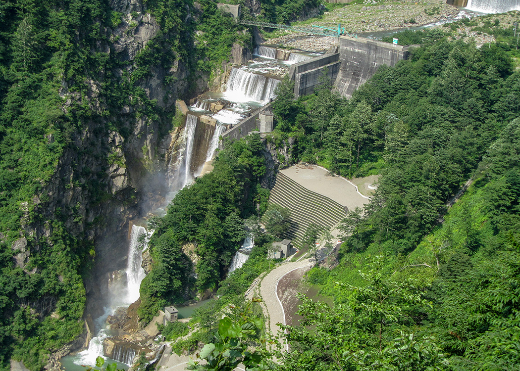
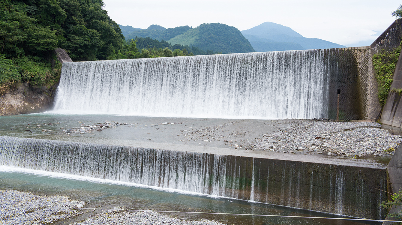
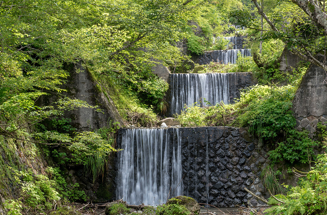
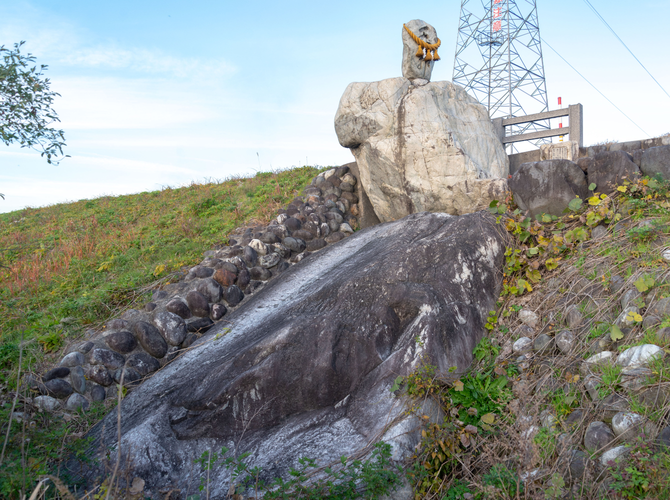
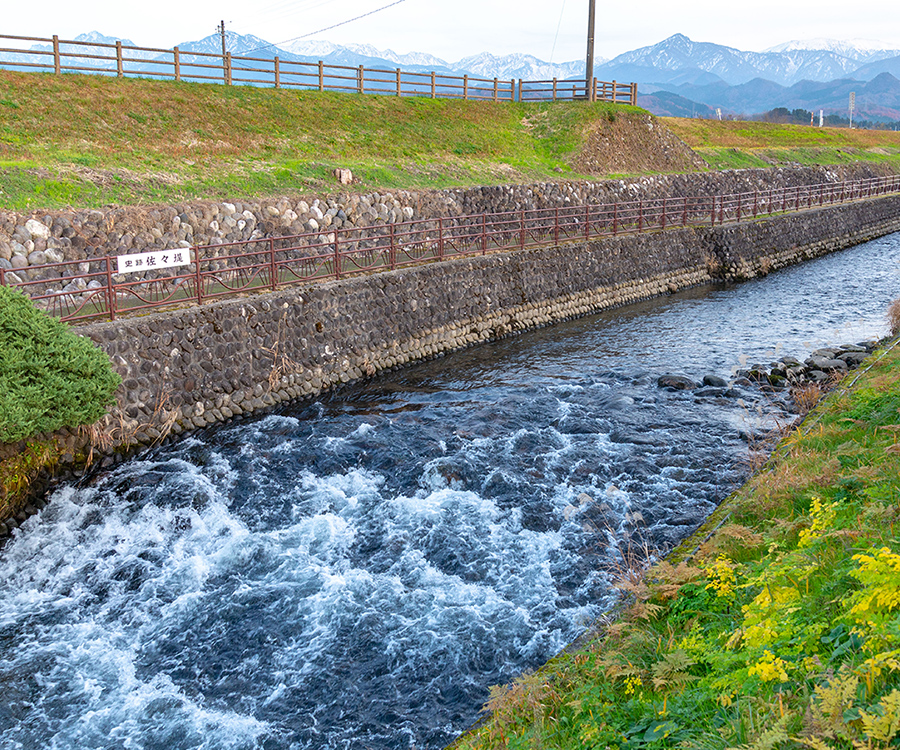
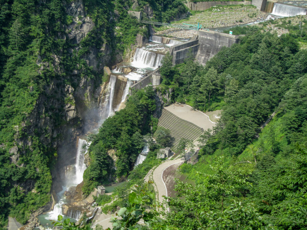
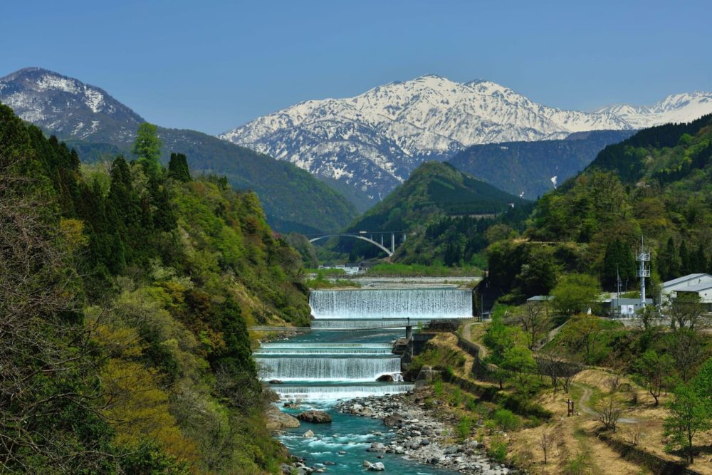
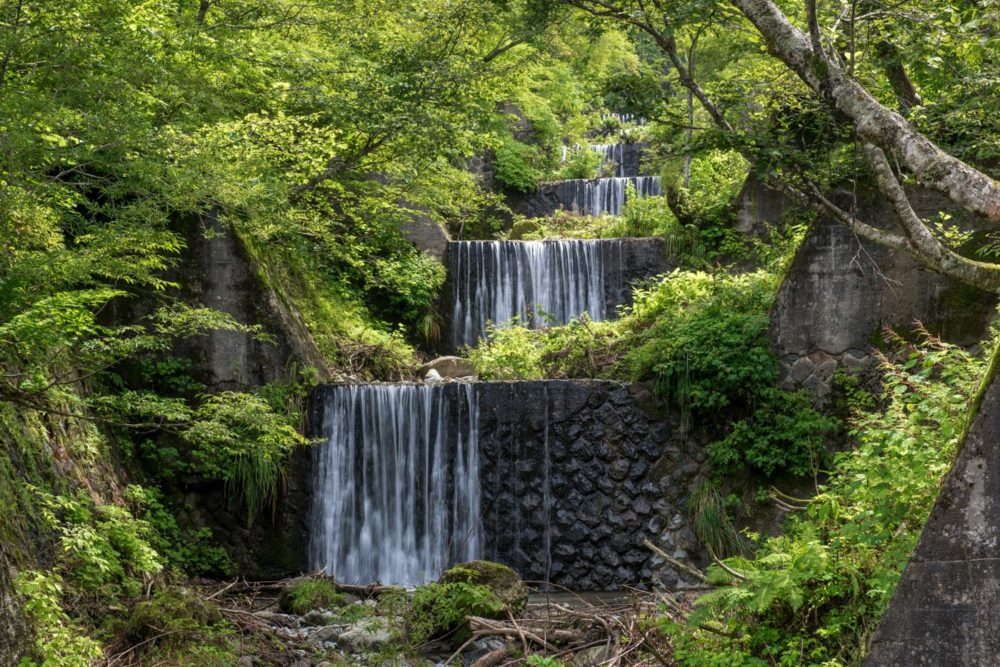
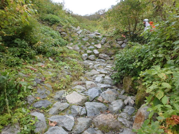
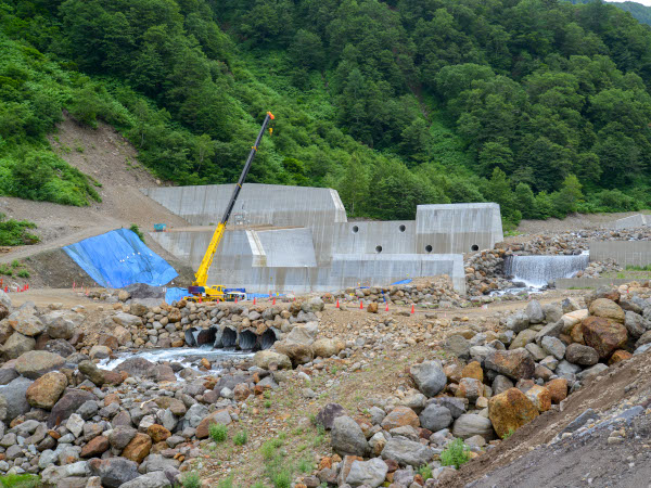
The Role Played by Sabo Dams

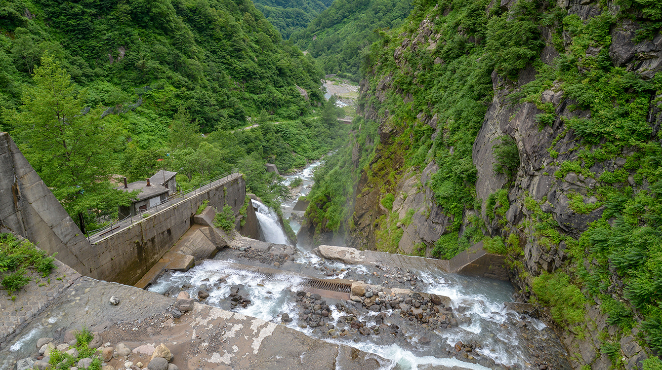
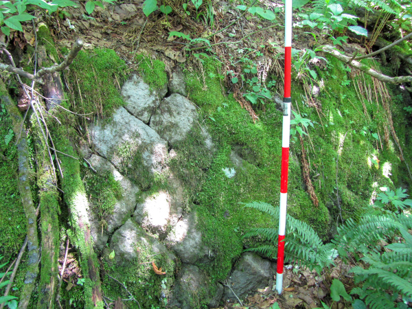
Sabo dams control sediment outflow by collecting incoming sediment and allowing it to gradually flow out. Collecting sediment in this way keeps the river wide, with a gentle incline, and ensures that the riverbed and riverbanks are protected from erosion and collapse, as well as slowing down the flow of debris. In addition, the soil erosion control project includes masonry, wooden fences, and planting projects, to create terraced walls and prevent new sediment-related issues.

The Shiraiwa Dam, the Largest of Its Kind in Japan!

This dam is 63 m tall, or 108 m total including the sub-dams.
The Shiraiwa Dam is the central Tateyama Sabo facility, and serves to block sediment outflow at the mouth of the Tateyama Caldera. This is a dam of a scale and structure seldom seen anywhere else in the world, employing a complex structure involving a concrete gravity dam and lattice framework. It is a testament to the extent to which early modern soil erosion control technology has evolved, and has considerable academic value.

The Hongu Dam Boasts Japan's Largest Sediment Capacity!

The Hongu Dam is a concrete gravity dam located midstream on the Joganji River, with the largest sediment capacity in Japan. It was built in just two years, using the latest large-scale construction equipment available at the time.
Prior to Construction of the Hongu Dam
Concrete distribution plant used during construction.
The stone walls of the foundation of the concrete distribution plant, used during construction, still stand. Today, they are considered valuable remains.

The Dorodani Dam Has Made Major Contributions to Vegetation Recovery!

Dorodani Dam is located on a steep incline with a total altitude difference of 120 m. It consists of 22 small dams (including three consolidation dams), making it a vast, terraced facility. Today, the use of terraced walls has helped local vegetation regrow, creating a small valley full of greenery.

Cultural and Natural Heritage Related to Tateyama Sabo

Switchback on the Tateyama Sabo Construction Works Line

Tateyama Sabo Construction Works Line

(National Monument)
At the beginning of the 20th century, the only way to carry materials to the Tateyama Caldera was with people or horse-drawn carriages. The Tateyama Sabo Construction Works Line came into service in 1929 to transport personnel and materials used for soil erosion control projects, and remains in use today. It includes an eighteen-stepped switchback built in 1965, allowing the train to ascend a height difference of 200 m in a short time.

Cultural and Natural Heritage Related to Tateyama Sabo

There is a clear natural border between the white granite on the left and brown gravel on the right.

Atotsugawa River Fault on the Makawa River

(Nationally Designated Natural Monument)
The Atotsugawa River Fault extends from southern Toyama Prefecture to northern Gifu Prefecture, and is one of Japan's most prominent faults, with a total length of 60 km. It has 1-4 m of activity every 1,000 years.

The Atotsugawa River Fault and Tateyama Sabo

In 1858, a large earthquake occurred with its epicenter at this fault, and the mountains around the Tateyama Caldera collapsed, creating several lakes with meltwater upstream of the Joganji River. Aftershocks later broke these lakes open, causing major flooding downstream. Ever since this earthquake, the Joganji River has been volatile, so the Tateyama Sabo soil erosion control works were started as a way to control and curb the flood damage.

Cultural and Natural Heritage Related to Tateyama Sabo

Shin'yu (1,626 m above sea level)
30 m radius, 5 m depth

Shin'yu, Where Hyalite is Produced

(Nationally Designated Natural Monument)
Shin'yu is the name of a pond located roughly in the center of the Tateyama Caldera, and is believed to be the remnants of a crater. Its name (literally, "new hot water") derives from the hot water that first began to spring up following the Ansei Hietsu Earthquake. The hot spring water that flows up from underground in Shin'yu is rich in silicon dioxide, which produces hyalite (a type of opal). This is one of the few places in Japan that produces this mineral.
Hyalite (from the Collection of the Toyama Science Museum)

Cultural and Natural Heritage Related to Tateyama Sabo

The Great Nishinomori Boulder

The Great Nishinomori Boulder

(Tateyama Town-Designated Natural Monument)
This large rock, found in Nishiomori, is 7.2 m tall and 32.4 m around. It is a boulder that was among the debris that flowed out after the Ansei Hietsu Earthquake, and is largely embedded in the embankment. It is said that this boulder helped protect the right bank downstream of Nishiomori from harm, and today it is still revered as an object of faith.
The Daitenseki Boulder of Oba and Toyama Cemetery
(Left:Oba, Right:Toyama Cemetry)
Daitenseki refers to boulders in this area that are more than two meters in size. Over forty such boulders have been found midstream and downstream along the Jogangji River, and stand as impressive testaments to the power of nature.
MENU