Kurobe Gorge and Sarutobi and Mount Okukane
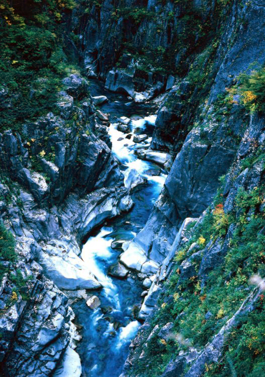
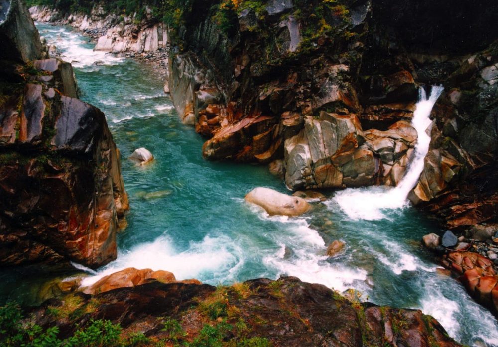
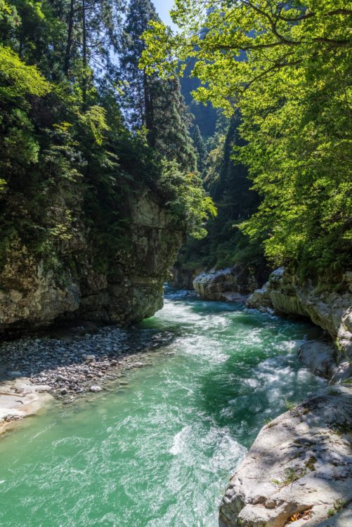
The Kurobe Gorge is a steep, deep V-shaped canyon shaped by the Kurobe River eroding the terrain that was formed by the Tateyama Mountain Range's volcanic activity and the Ushiro-Tateyama Mountain Range's elevation. The valley called the Shita no Rouka [ Lower Corridor ] is renowned for its S-shaped and cross-shaped gorges, embodying a series of grand and magnificent sceneries. The Kurobe River has an average river gradient of 1/40 and is known for its rapid water flow and pure water.
The vast area centering on the Kurobe Gorge's Shita no Rouka to the summits of Mt. Tateyama, Mt. Tsurugi, and the Ushiro-Tateyama Mountain Range, as well as the Okukaneyama and Sarutobi Canyon [ also known as the Keiun Canyon ], are designated cultural assets. These areas are filled with academically valuable and breathtaking sceneries, including glaciers, glacial landforms, waterfalls, and natural monuments, such as ptarmigan and Japanese serow, along with virgin forests with abundant flora and fauna.
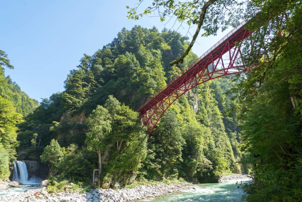
This area was virtually inaccessible to people until the early 20th century, where power was developed, and railroads were installed. In 1953, the section from Unazuki Onsen to Keyakidaira started being open to the general public. This railroad is now beloved nationwide, nicknamed the "trolly train."
The Sarutobi Canyon [ Flying Monkey Canyon ] was named after its narrowness, which even monkeys could jump across.
| Name | Kurobe Gorge and Sarutobi and Mount Okukane | ||
|---|---|---|---|
| Designation level | Country | Designation classification | Special Scenic SpotSpecial Natural Monument |
| Type | Designation/registration day | July 10, 1964 | |
| Municipality | Tateyama Town Kurobe City | Location | Tateyama Town, Kurobe City |
| Ownership/management | Ministry of Agriculture, Forestry and Fisheries | Member | |
| Structure | Era | ||
| Links | |||